
Marine Solutions
MARINE SPATIAL PLANNING (MSP)
Developing sustainable, science-based frameworks for the integrated management of marine environments — balancing ecological preservation, economic activity, and national security across India's vast ocean territories.
What is Marine Spatial Planning?
Marine Spatial Planning (MSP) is a strategic and science-based approach to organizing human activities within marine and coastal spaces. It helps balance economic, environmental, and social priorities while reducing conflicts between different uses of the ocean.
Through advanced data analysis, ecosystem understanding, and collaborative decision-making, MSP addresses challenges such as resource conflicts, habitat degradation, increasing shipping activity, and environmental pressure.
Sustainable Ocean Use
Balance economic growth with long-term environmental sustainability.
Ecosystem Protection
Protect sensitive marine habitats and biodiversity.
Conflict Management
Reduce conflicts between shipping, fisheries, conservation, energy, and other marine activities.
Data-Driven Decisions
Use scientific data, technology, modelling, and analysis to support better marine governance.
One Plan. Success for Everyone.
How proper spatial mapping turns ocean conflicts into shared economic and environmental victories.
For the Planet
- Restores dying marine habitats.
- Protects endangered wildlife corridors.
- Mitigates industrial pollution footprints.
For the Economy
- Unlocks multi-billion dollar industries.
- Reduces costly legal delays.
- Secures long-term green energy space.
For Communities
- Protects local ancestral fishing.
- Boosts sustainable eco-tourism jobs.
- Shields coastlines from erosion.
The Marine Spatial Shift
From Data to Decisions: An MSP Planning Cycle
An adaptable framework for integrating marine data, stakeholder priorities, spatial planning, and evidence-based monitoring.
Implementation Roadmap
Phase 01: Data Gathering & Mapping
01- Compile available ecological, bathymetric, and marine-use data.
- Map existing activities and environmentally sensitive areas.
- Identify data gaps and uncertainties.
Phase 02: Stakeholder Engagement
02- Consult fishing communities, industries, researchers, and authorities.
- Identify competing marine uses and potential conflicts.
- Document stakeholder priorities and trade-offs.
Phase 03: Spatial Plan Development
03- Develop alternative marine-use planning scenarios.
- Assess ecological, social, and economic trade-offs.
- Align proposed measures with applicable laws and policies.
Phase 04: Implementation & Monitoring
04- Define implementation responsibilities and measurable indicators.
- Monitor environmental, social, and economic outcomes.
- Review and adapt the plan as new evidence emerges.
Potential Benefits of Marine Spatial Planning
How coordinated marine planning can support better decisions, reduce uncertainty, and balance competing ocean uses.
| Planning Area | Potential Challenge | How MSP Can Help |
|---|---|---|
| Planning & Approvals | Fragmented processes and uncertainty about marine uses. | Coordinate planning and improve predictability. |
| Competing Marine Uses | Shipping, fisheries, energy, and conservation may have competing spatial requirements. | Identify potential conflicts and assess trade-offs through stakeholder engagement. |
| Ecosystem Protection | Marine activities can place pressure on sensitive habitats and biodiversity. | Incorporate ecological data into spatial planning and conservation priorities. |
| Investment Planning | Uncertainty about existing activities and future marine development can complicate investment decisions. | Provide a more coordinated and transparent framework for evaluating proposed activities. |
These are potential benefits, not guaranteed outcomes. Results depend on regional conditions, data quality, governance, implementation, and monitoring. No universal ROI, permit-time reduction, habitat recovery rate, or setup cost is assumed.
Marine Spatial Planning (MSP) Framework
Explore our strategic framework for organizing human activities in ocean spaces. This research-backed guide highlights ecosystem-based management and collaborative governance to secure sustainable marine resources for the future.
India's MSP Initiative for Underwater Noise Management
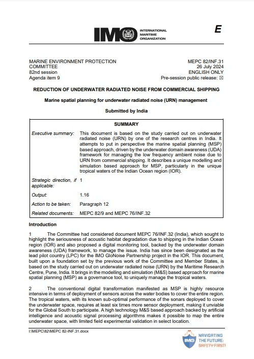
Spearheaded by DG Shipping and presented by MRC at the IMO (MEPC-82), India proposed a pioneering digital tool for mapping underwater noise. Accepted globally, this initiative cements India's role as the lead nation for underwater noise management in the Indian Ocean Region (IOR), strengthening sustainable shipping policies and protecting vital marine ecosystems.
Underwater Domain Awareness E-Learning Modules
Immerse yourself in specialized simulation-backed training modules designed to elevate your expertise in marine science, environmental governance, and acoustic engineering.


URN Management
Master Underwater Radiated Noise (URN) assessment, regulatory frameworks, and mitigation strategies for shipping traffic.
MSP Contributors & Fellows
More than 20 research fellows and scholars have played a vital role in advancing our Marine Spatial Planning initiatives.
Shiv Nadar University
J Catherine
MSP Handbook

Indian Institute of Technology, Roorkee
Aman Bansal
Collision Avoidance & Navigation System using AIS

Indian Institute of Technology, Delhi
Akshita Mangal
Ambient Noise Mapping

vishwakarma Institute of Technology
Jay Pinjarkar
MSP Tool (backend)

vishwakarma Institute of Technology
Anchala Dhanvijay
MSP Tool (frontend)
Tour the Platform
Watch how our all-in-one spatial tool integrates complex environmental data with real-time industrial mapping.
Layer Integration
Combines GIS, bathymetry, and biological data layers into a unified workspace.
Conflict Flagging
Automatically alerts planners when shipping paths overlap with marine reserves.
Zoning Sandbox
Allows users to draw, test, and edit boundary lines safely before exporting.
One-Click Reports
Instantly generates regulatory compliance files and coordinate manifests.
Frequently Asked Questions
Everything you need to know about the legalities, costs, and boundaries of Marine Spatial Planning.
No. It reorganizes space rather than closing it down. Banned activities only apply to highly sensitive ecological zones.
Marine Eco-Concern and Its Impact on Indian Maritime Strategy
Authored by Dr. (Cdr) Arnab Das
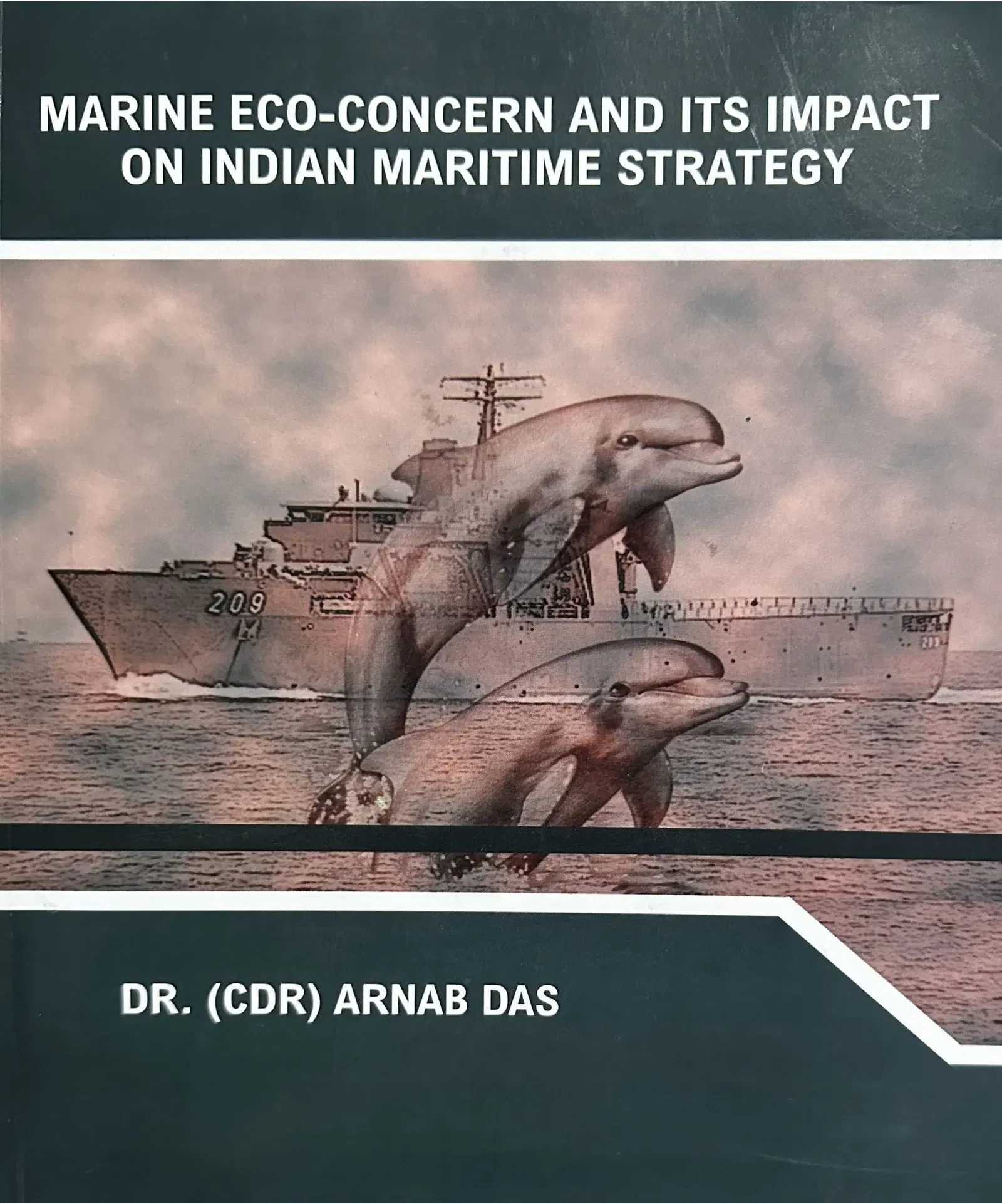
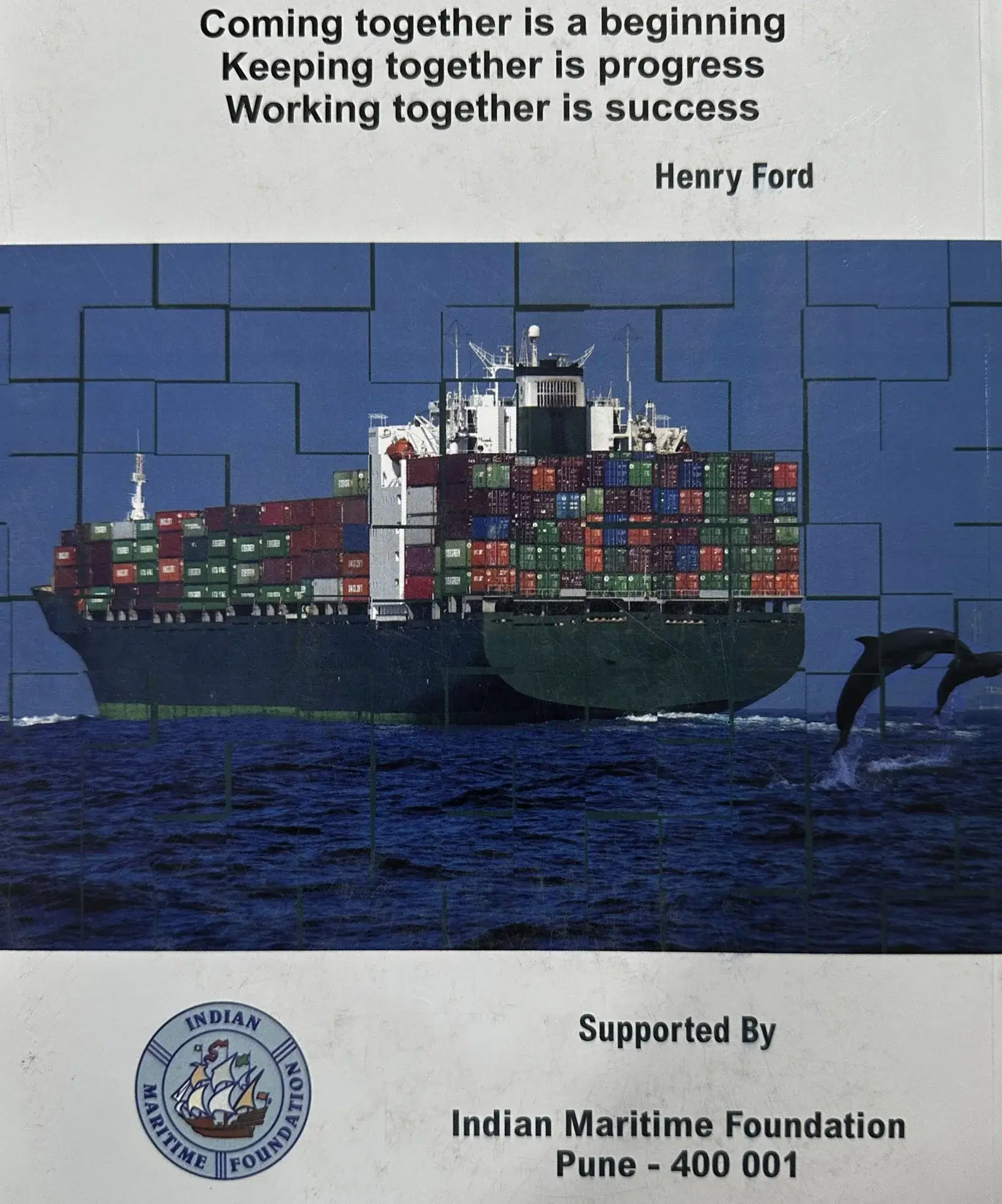
Marine Eco-Concern and Its Impact on Indian Maritime Strategy by Dr. (Cdr) Arnab Das delves into the critical intersection of environmental issues and maritime strategy. This book offers valuable insights into how marine ecological concerns shape the policies and operational tactics of India’s maritime forces.
Interested in exploring the strategic interplay between marine ecology and maritime operations? Click below to request your copy via our response form.