
Coastal Resilience
COASTAL RESILIENCE
Implementing integrated coastal zone management strategies to protect shorelines, mitigate erosion, and build climate-resilient coastal communities through data-driven policy and nature-based solutions.
Understanding the Coast as One Connected System
Coastal regions do not operate in isolation. They form a continuous, dynamic continuum where terrestrial networks flow seamlessly into deep marine environments. The UDA Foundation adopts an integrated approach that connects rivers, estuaries, beaches, marine ecosystems, human communities, aquaculture networks, critical infrastructure, and open ocean domains into a single unified monitoring framework.
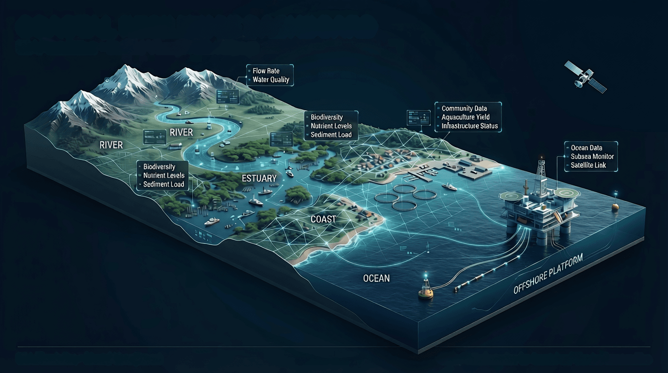
UDA Coastal Resilience Framework
An integrated digital twin architecture connecting multi-variable marine systems into a unified operational intelligence network.
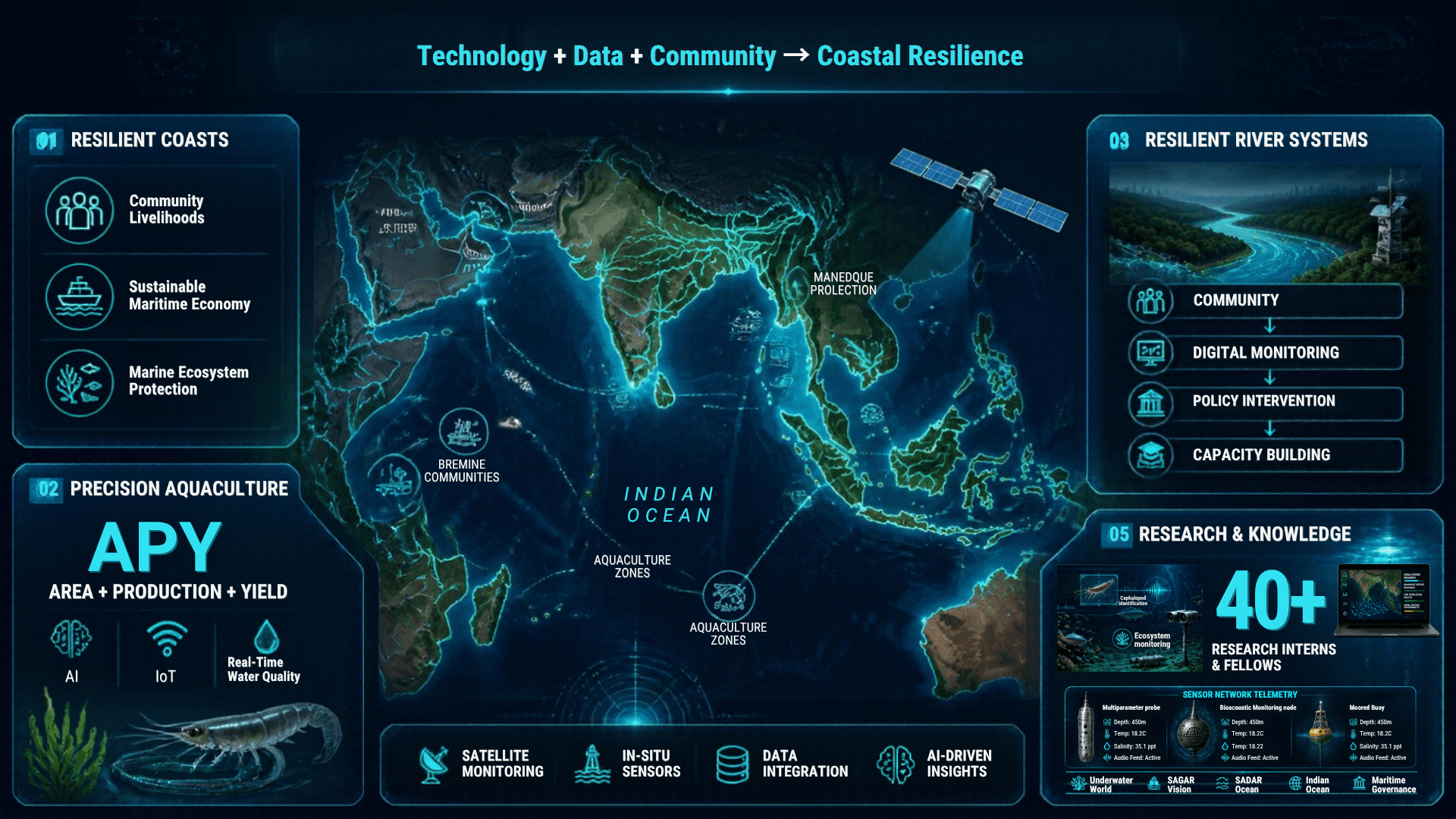
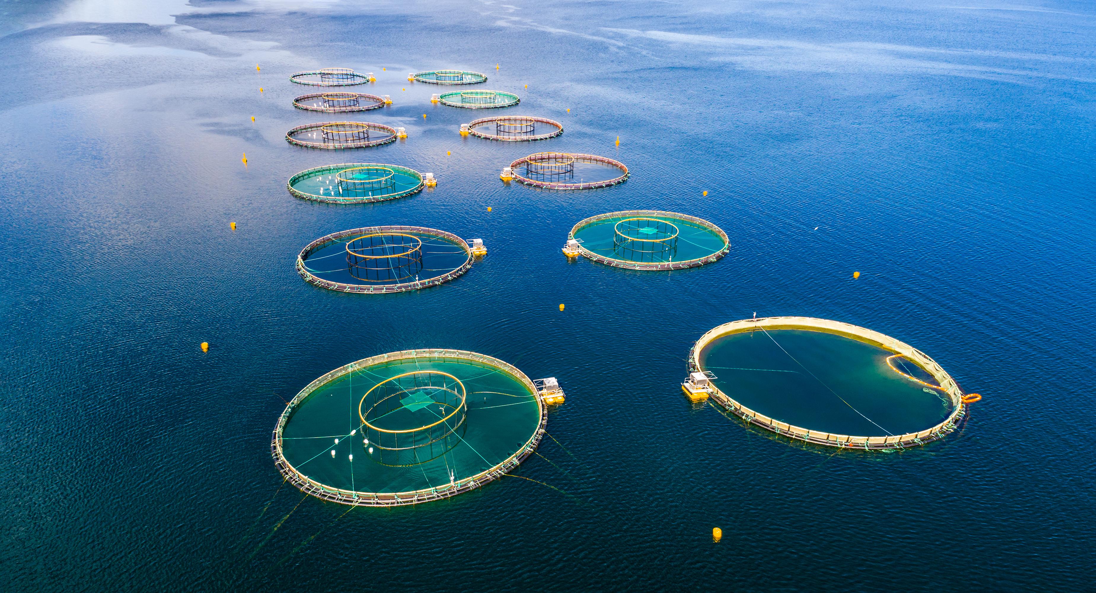
The APY (Area, Production, Yield) Tool is an AI-enabled precision aquaculture platform that integrates real-time water quality data, predictive analytics, and indigenous IoT technology to improve farm productivity and environmental sustainability. Designed for coastal ecosystems, it supports data-driven decision-making, optimizes resource use, and advances resilient, technology-led growth within the blue economy.
An integrated river management initiative that combines grassroots participation with digital monitoring, policy intervention, and capacity building to address urbanization pressures, water quality risks, and climate impacts. The programme establishes scalable frameworks for transparent, data-driven governance while fostering community ownership of river ecosystems.
From Data to Better Aquaculture Decisions
The APY Analysis Tool systematically evaluates Area, Production, and Yield to assess aquaculture performance across vulnerable marine zones. By synthesizing high-resolution spatial mapping with predictive modeling, the platform identifies latent productivity opportunities while safeguarding marine carrying capacities.
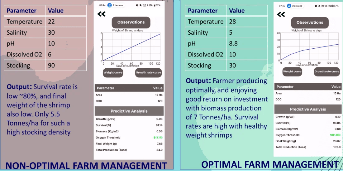
SHRIMP AQUACULTURE
Data-driven farm productivity analysis, water quality telemetry integration, and carrying-capacity monitoring for commercial coastal operations.
SEAWEED CULTIVATION
Sustainable coastal cultivation mapping, carbon sequestration valuation, and spatial optimization for blue economy growth.
Balancing Productivity with Marine Protection
Advanced monitoring frameworks that optimize commercial yield while strictly preserving coastal carrying capacities and fragile ecological balances.
SHRIMP AQUACULTURE
> Data-driven aquaculture intelligence
SEAWEED CULTIVATION
> Technology-enabled sustainable cultivation
“Supporting coastal livelihoods while protecting marine ecosystems.”
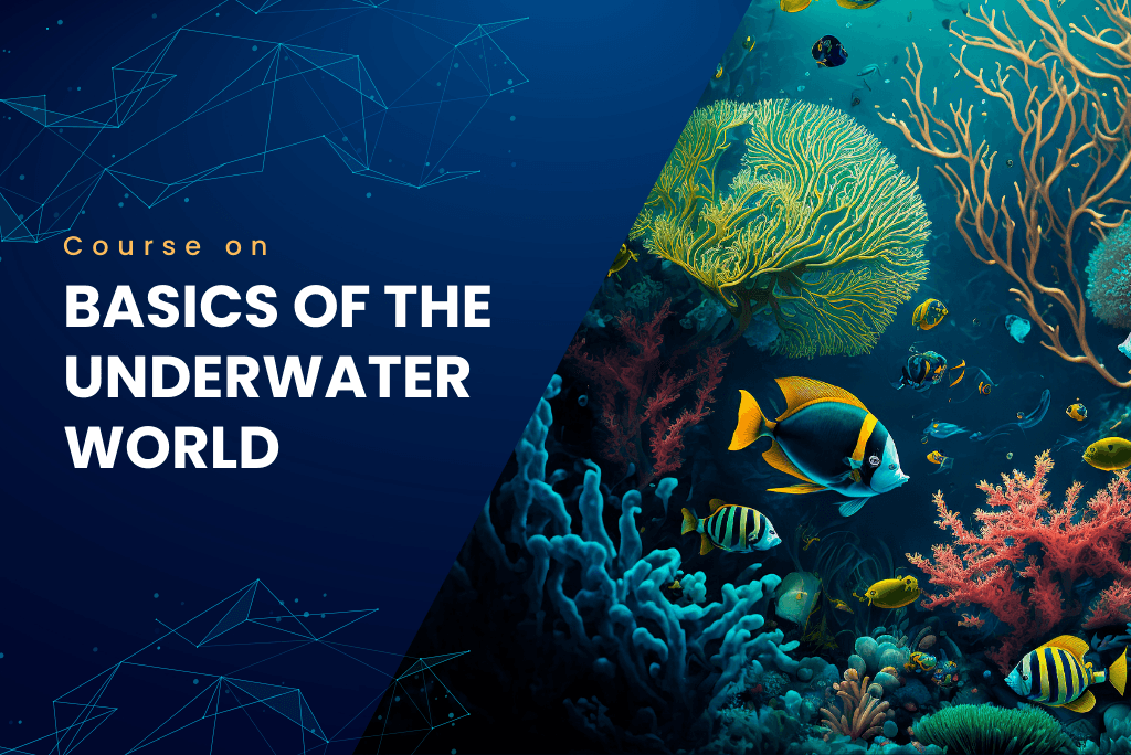
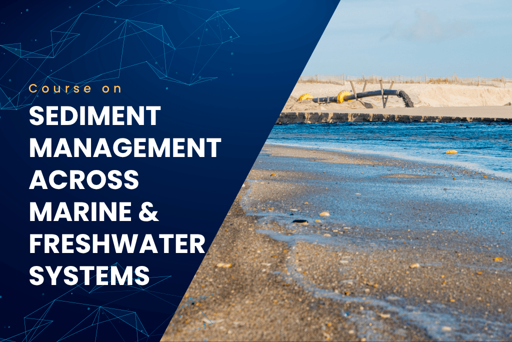
Underwater Domain Awareness E-Learning Modules
Immerse yourself in specialized simulation-backed training modules designed to elevate your expertise in marine science, environmental governance, and acoustic engineering.

Climate Change
Understand long-term ocean warming, sea-level rise modeling, and climate impacts on marine ecosystems.
Research & Knowledge Hub
Curated publications, case studies, and simulation models from the URN research community.
Sediment Transport Study of Indian Tropical Rivers
Pradnya Kumbhare
3D Shipping Noise Mapping Model for the Arabian Sea
Rijul
Seaweed Farming in India: From Growth Barriers to Strategic Pathways for a Sustainable Future.
Shlok Nemani
Aquaculture Pond Precise Detection and Monitoring for Spacial Planning Using Deep Learning and Remote Sensing
Susank Chigilipalli
Seaweed Farming in India: From Growth Barriers to Strategic Pathways for a Sustainable Future
UDA Foundation
Underwater Channel Modelling – 3D Aspect in the Indian Ocean Region
Gokul Karthiik
Marine Eco-Concern and Its Impact on Indian Maritime Strategy
Authored by Dr. (Cdr) Arnab Das
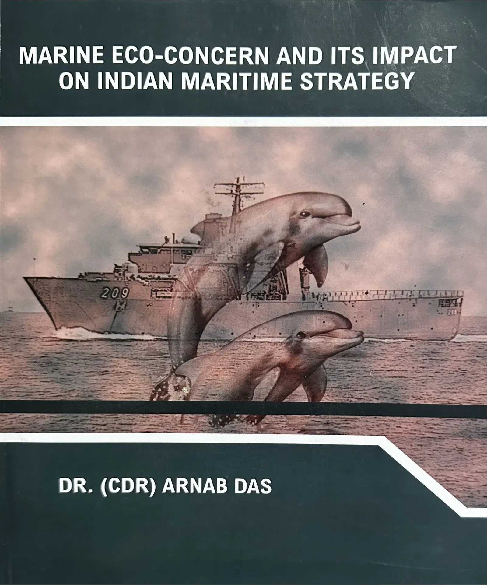
Marine Eco-Concern and Its Impact on Indian Maritime Strategy by Dr. (Cdr) Arnab Das delves into the critical intersection of environmental issues and maritime strategy. This book offers valuable insights into how marine ecological concerns shape the policies and operational tactics of India’s maritime forces.
Interested in exploring the strategic interplay between marine ecology and maritime operations? Click below to request your copy via our response form.